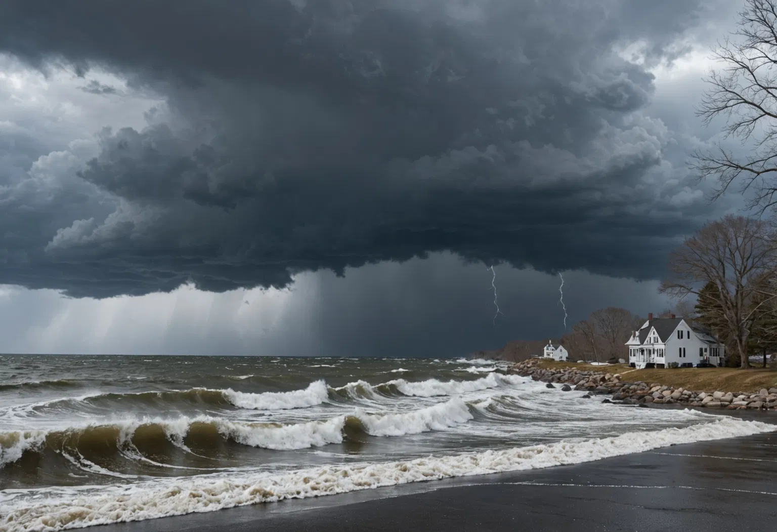
A nor'easter is a powerful storm that develops along the East Coast of North America, earning its name from the strong northeasterly winds that sweep over coastal areas as the system churns offshore. While the term often brings to mind blizzards and snowbound cities, a nor'easter is actually a specific type of mid-latitude cyclone — a sprawling, rotating area of low pressure that can deliver heavy snow, flooding rain, coastal erosion, and even hurricane-force winds. These storms rank among the most consequential weather events in the United States, disrupting travel, knocking out power, and reshaping coastlines, which is why forecasters track them so closely from fall through spring.
What Exactly Is a Nor'easter?
A nor'easter is a large extratropical cyclone that develops within a few hundred miles of the East Coast, typically between North Carolina and Massachusetts. Unlike tropical systems that draw their energy from warm ocean water, a nor'easter is powered by the clash of contrasting air masses: cold Arctic air diving south from Canada meets warm, moisture-laden air streaming north from the Atlantic Ocean and the Gulf Stream.
The name can be confusing at first because it does not describe where the storm travels. Instead, it describes the direction of the storm's most damaging winds. As the system's circulation spins counterclockwise, air on its western and northern flanks blows from the northeast toward the coast. Those persistent northeasterly winds — not the storm's path — are what give the nor'easter its name.
How Does a Nor'easter Form?
The recipe for a nor'easter starts with a sharp temperature contrast. During the cold season, frigid Arctic air regularly pushes south and east over the eastern United States. At the same time, the Gulf Stream carries comparatively warm water — and warm, moist air — up the Atlantic seaboard. When these two very different air masses collide, the atmosphere becomes unstable and a center of low pressure begins to spin up.
Three ingredients are essential:
- A strong temperature gradient between cold air over land and warm air over the ocean
- An active jet stream that helps lift air and intensify the low-pressure system
- Abundant moisture from the Atlantic Ocean feeding into the developing storm
Once the low forms, it typically strengthens as it drifts north-northeastward along or just offshore of the coast. If the central pressure falls rapidly — 24 millibars or more within 24 hours — the storm undergoes a process called bombogenesis, and meteorologists label it a "bomb cyclone." This rapid intensification is one reason nor'easters can strengthen so quickly and catch communities off guard.
The storm's counterclockwise rotation then wraps cold air around its western side while pulling warm, wet air up its eastern flank. The result is a massive system that can stretch for a thousand miles, producing heavy snow far inland while coastal areas face rain, wind, and storm surge at the same time.
Why Is It Called a Nor'easter — and When Do They Happen?
The term "nor'easter" comes directly from the wind direction. Early mariners and coastal residents noticed that these storms reliably produced gales blowing from the northeast, and the name stuck. It remains in use today by the National Weather Service and forecasters across the region.
Nor'easters can occur any time of year but are most common and most intense between September and April, when cold air is available to fuel the temperature contrast. Peak activity runs from late fall through early spring, and a single season can produce several significant storms. Some winters deliver multiple nor'easters in a matter of weeks — in March 2018, for example, four nor'easters struck the Northeast in roughly three weeks.
Snow, Wind, and Flooding: Why Nor'easters Are So Dangerous
A nor'easter is especially dangerous because it can deliver nearly every major weather hazard at once:
- Heavy snow: The cold side of the storm can drop a foot or more of snow, sometimes reaching blizzard criteria when strong winds combine with falling and blowing snow to slash visibility.
- Damaging winds: Sustained winds can reach tropical-storm or even hurricane force, toppling trees and power lines and leaving hundreds of thousands without electricity. The National Weather Service often issues high wind warnings or wind advisories for these gusts.
- Coastal flooding and beach erosion: Onshore winds pile water against the coast, and storm surge can flood low-lying areas — especially when the storm coincides with high tide.
- Heavy rain and inland flooding: On the warm side of the storm, torrential rain can trigger flash flooding.
Because these hazards overlap, nor'easters routinely rank among the costliest and most disruptive weather events in the eastern United States, affecting major cities including Boston, New York, Philadelphia, and Washington, D.C.
Nor'easter vs. Blizzard vs. Hurricane: What's the Difference?
People often confuse nor'easters with blizzards and hurricanes, but the three are distinct:
- A nor'easter is a type of storm — an extratropical cyclone — defined by its location and wind direction.
- A blizzard is a set of conditions: sustained winds of at least 35 mph plus blowing snow that reduces visibility to a quarter mile or less for at least three hours. A nor'easter can produce blizzard conditions, but not every nor'easter does, and blizzards can occur apart from nor'easters.
- A hurricane is a tropical cyclone with a warm core that draws energy from warm ocean water. A nor'easter is a cold-core, extratropical system powered by temperature contrasts. Occasionally a hurricane can transition into a nor'easter-like extratropical storm, as Hurricane Sandy did in 2012.
The Most Notorious Nor'easters in History
The historical record is full of memorable nor'easters:
- The Blizzard of 1888 buried parts of the Northeast under up to 50 inches of snow, killing hundreds and paralyzing transportation for days.
- The Ash Wednesday Storm of 1962 battered the Mid-Atlantic coast with relentless waves and storm surge, destroying thousands of homes.
- The 1993 "Storm of the Century" was a massive nor'easter that affected the entire eastern third of the country with record snowfall, tornadoes, and coastal flooding.
- Winter Storm Jonas (January 2016) dumped more than two feet of snow on parts of the Mid-Atlantic and Northeast.
- The March 2018 sequence produced four nor'easters in three weeks, with damaging winds and heavy snow from the Carolinas to New England.
How Forecasters Track and Warn About Nor'easters
Meteorologists monitor the ingredients that produce nor'easters days in advance. Satellites, weather balloons, and computer models help forecasters spot low-pressure development off the coast and predict its track and intensity. When a nor'easter threatens, the National Weather Service issues a range of alerts, including winter storm watches and warnings, blizzard warnings, coastal flood warnings, high wind warnings, and gale or storm warnings for mariners. Because the exact track matters enormously — a shift of just 50 miles can mean the difference between plain rain and two feet of snow — forecasters emphasize the uncertainty in their messaging.
The Bottom Line: What to Remember About Nor'easters
- A nor'easter is an East Coast storm named for its strong northeasterly winds, not its path.
- It forms when cold Arctic air collides with warm, moist Atlantic air, often over the Gulf Stream.
- These storms are most common between September and April.
- They can bring heavy snow, damaging winds, and coastal flooding all at once.
- A nor'easter can produce blizzard conditions but is not the same as a hurricane.
As long as cold air continues to pour off the continent into a warm Atlantic each winter, nor'easters will remain a defining feature of life along the East Coast. Understanding how they form — and why their winds blow from the northeast — helps residents and travelers prepare for whatever the next storm brings.